Alec_Gagne
Programmer
Are there any VFP folks out there with WinMapGIS OCX experience?
I'm working with the MapWinGIS OCX control (version 5.3) with some degree of success. I've code to create a Shapefile layer, and store the layer handle to a form property, but when the layer already exists I need to identify the object within the map control that corresponds to the LayerHandle. The MapWinGIS documentation suggests that this is easily done by calling the 'get_Shapefile' method to get an object reference to the current Shapefile layer.
[pre]*** Sample MapWinGIS Code ***
sf = axMap1.get_Shapefile(m_layerHandle);
[/pre]
So, I tried calling the 'get_Shapefile' method even though it is not shown in the VFP properties sheet for the ocx but it does not appear to be exposed. The VFP Code below fails with an OLE Error 'Unknown Name'
[pre]loSF = THISFORM.axmap1.get_Shapefile(THISFORM.LayerHandle)[/pre]
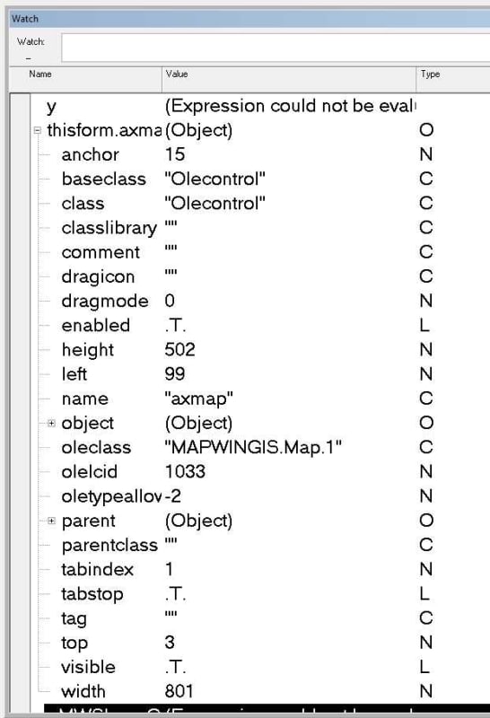
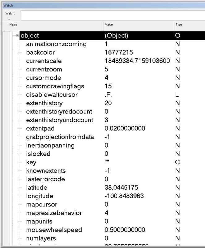
It seems more things are exposed in the ocx embedded object so I also tried calling it this way
[pre]loSF = THISFORM.axmap1.object.get_Shapefile(THISFORM.LayerHandle)[/pre]
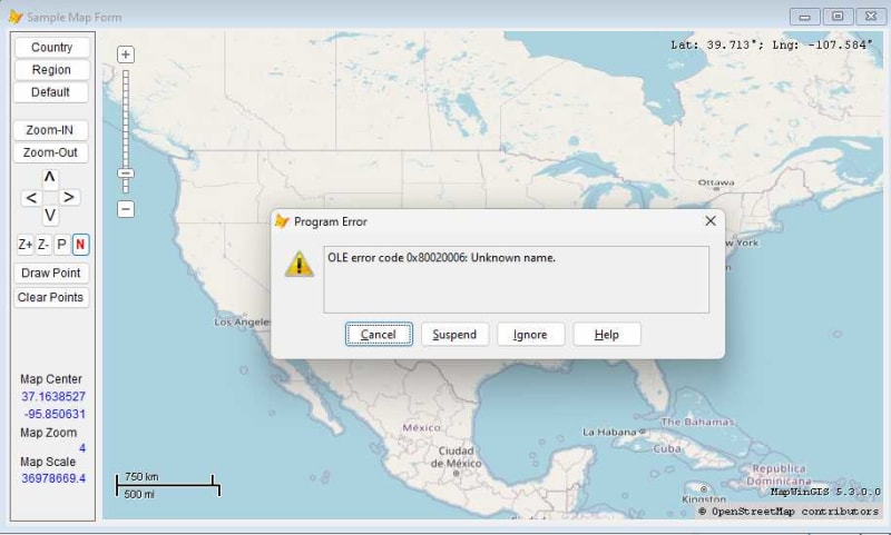
* The ultimate goal is to display image icons on the map using VFP. If anyone has VFP sample code that they can share it would greatly speed up my development time...
Any help or examples would be greatly appreciated!
AJ
I'm working with the MapWinGIS OCX control (version 5.3) with some degree of success. I've code to create a Shapefile layer, and store the layer handle to a form property, but when the layer already exists I need to identify the object within the map control that corresponds to the LayerHandle. The MapWinGIS documentation suggests that this is easily done by calling the 'get_Shapefile' method to get an object reference to the current Shapefile layer.
[pre]*** Sample MapWinGIS Code ***
sf = axMap1.get_Shapefile(m_layerHandle);
[/pre]
So, I tried calling the 'get_Shapefile' method even though it is not shown in the VFP properties sheet for the ocx but it does not appear to be exposed. The VFP Code below fails with an OLE Error 'Unknown Name'
[pre]loSF = THISFORM.axmap1.get_Shapefile(THISFORM.LayerHandle)[/pre]
It seems more things are exposed in the ocx embedded object so I also tried calling it this way
[pre]loSF = THISFORM.axmap1.object.get_Shapefile(THISFORM.LayerHandle)[/pre]

* The ultimate goal is to display image icons on the map using VFP. If anyone has VFP sample code that they can share it would greatly speed up my development time...
Any help or examples would be greatly appreciated!
AJ


![[smile] [smile] [smile]](/data/assets/smilies/smile.gif)
